New ideas, bigger ambitions: Meet Geovation Accelerator Cohort 23
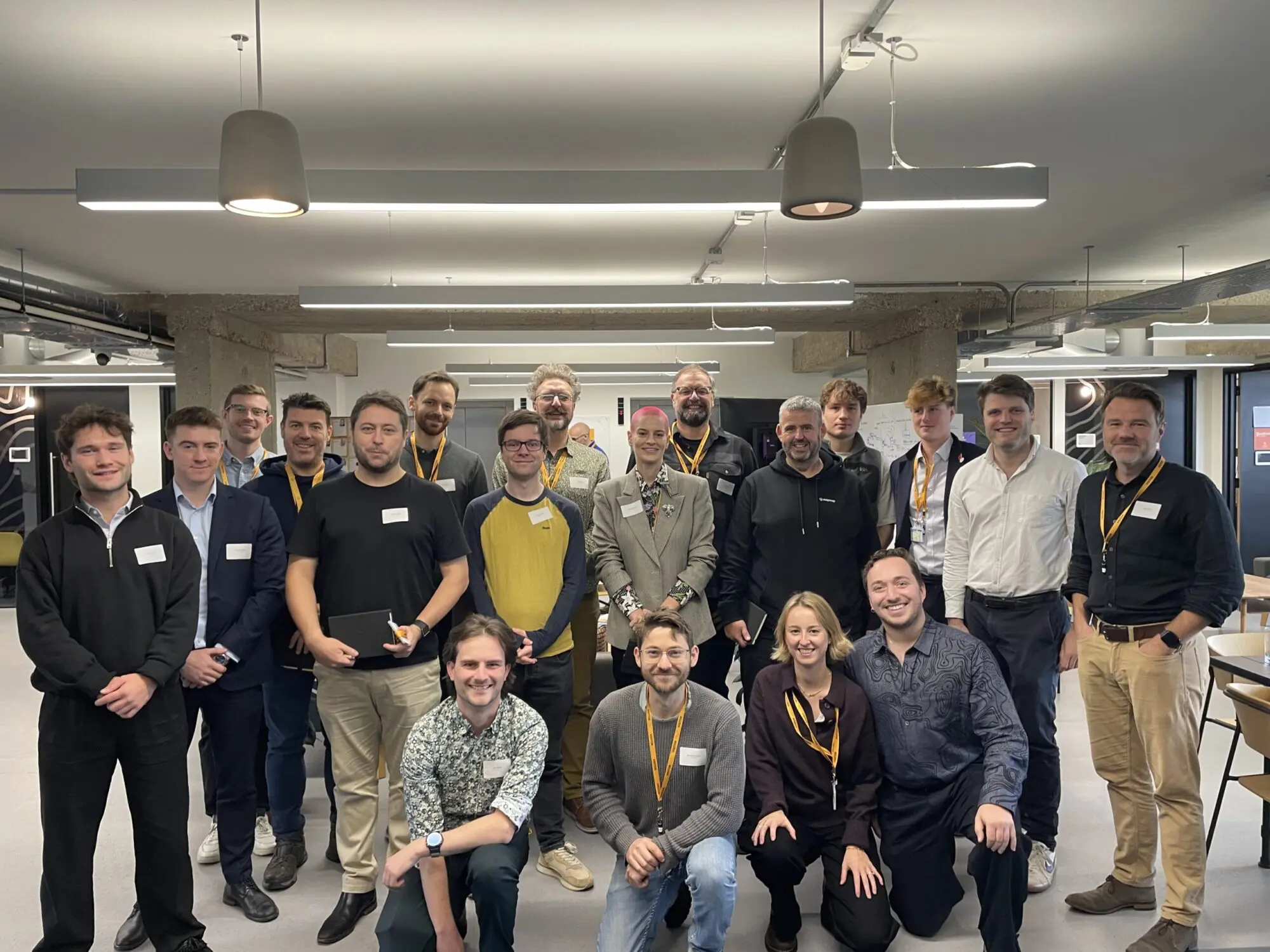
We’re excited to introduce the 23rd cohort of startups joining the Geovation Accelerator Programme, and this time, the cohort is bigger than ever.
Twelve ambitious startups are joining the programme, using data, technology and location insight to tackle challenges spanning property, infrastructure, agriculture, energy, nature recovery and environmental resilience.
Cohort 23 also marks an exciting expansion of the Accelerator. The Natural Environment Research Council (NERC) has joined the Department for Environment, Food and Rural Affairs (Defra), HM Land Registry (HMLR) and Ordnance Survey (OS) as a programme partner, helping Geovation support twice the usual number of startups.
Alongside our established Location Intelligence and PropTech tracks, six startups will focus on spatial prioritisation, exploring how location, property and earth observation data can support better land-use decisions and environmental outcomes. Satellite Applications Catapult (SAC) will also provide additional mentoring to these six startups, including support around pilot matchmaking and procurement readiness.
Together, this latest cohort demonstrates the breadth of challenges that innovative use of data and technology can help address.
Location Intelligence: unlocking new value from geospatial data
Supported by OS, the Location Intelligence track supports startups exploring innovative applications of national mapping and location data.
DearMP – A constituency case management platform that helps MPs and their teams manage, track and respond to constituent enquiries more efficiently.
StreetVision – A street-level infrastructure intelligence platform using computer vision, street-level imagery and geospatial data to assess walking, cycling and accessibility infrastructure.
MapMap – An agent-first mapping and navigation platform providing routing, search and map infrastructure that organisations and AI agents can host and control themselves.
PropTech: transforming the property sector through data
Delivered in association with HMLR, the PropTech track supports startups using land and property data to develop new solutions for the property industry.
Off-Market – A private, agent only network that helps estate agents match buyers and sellers using off-market and pre-market properties that never reach public property portals.
Flatwise – An end-to-end platform helping leaseholders and share of freeholders manage resident-controlled buildings more effectively and transparently.
Consus Energy – A platform deploying and managing battery storage across commercial properties to reduce energy costs, generate revenue and support the electricity grid.

Spatial prioritisation: using data to support better decisions for land and nature
In association with Defra and NERC, this new area of the programme brings together six startups tackling challenges around agriculture, natural capital, infrastructure, nature recovery, heritage and renewable energy.
By combining location, property and earth observation data with emerging technologies, these founders are developing new ways to understand the landscape, prioritise action and support more resilient approaches to land use.
RootRisk – De-risking the transition to resilient farming and rewarding the farmers who build it. Its geospatial AI reads farming practice at field, farm and landscape level, turning exposure to extreme weather and security of supply into bankable risk scores.
Oversite Earth – A natural capital intelligence platform combining satellite, drone and ground-sensor data to help land stewards measure, manage and demonstrate the natural value of their land.
Infraview – Infrastructure engagement software that helps project teams manage stakeholder information and reduce the administrative burden of complex engagement programmes.
Nature Data Solutions (HERON) – A geospatial intelligence platform using Earth observation to measure ecosystem resilience and help land managers prioritise nature recovery interventions.
DigVentures (Deep Time) – A landscape intelligence platform combining Earth observation, historic data and citizen science to support nature recovery, environmental monitoring and heritage management.
ANO Insights – A solar intelligence platform combining financial, generation, planning and spatial data to help investors and developers risk-assess and value operational solar assets.
What’s Next?
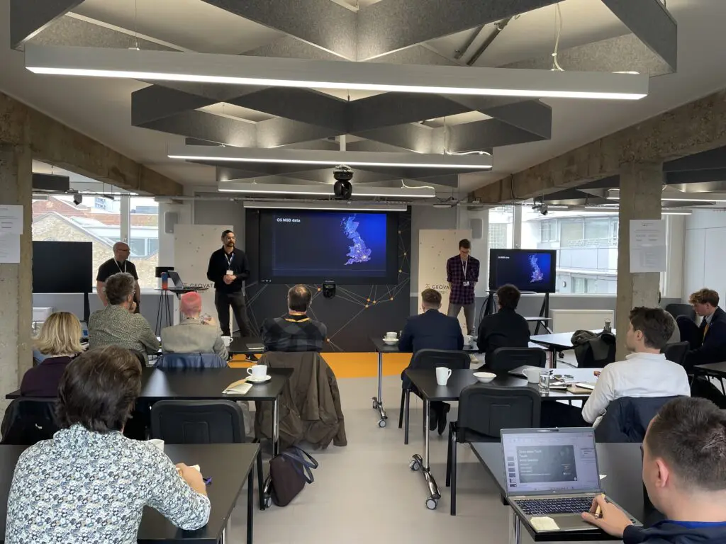
Over the coming months, the 12 startups will take part in an intensive programme designed to help them develop their businesses and turn innovative ideas into scalable solutions.
Following an immersive induction, founders will take part in deep-dive sessions covering customer development, technology, business models, intellectual property, team building, funding readiness and more. They’ll also receive targeted workshops, one-to-one mentoring and technical support, alongside access to Geovation’s wider founder, partner and geospatial ecosystem.
As the programme gets underway, we’ll be following Cohort 23’s progress and sharing more about the founders, their ideas and the impact they’re working to create.
Follow their journey and explore how applications leveraging location technologies continue to shape a smarter, more sustainable future:
- Meet the start-ups in this latest cohort
- Learn more about the tracks Accelerator Programme
- Join the community and become an Ecosystem member
- Read the announcement

Marketing That Actually Works



AI for Marketing

Founder Wellness: Pottery Mug Making