About Us
Meet the team
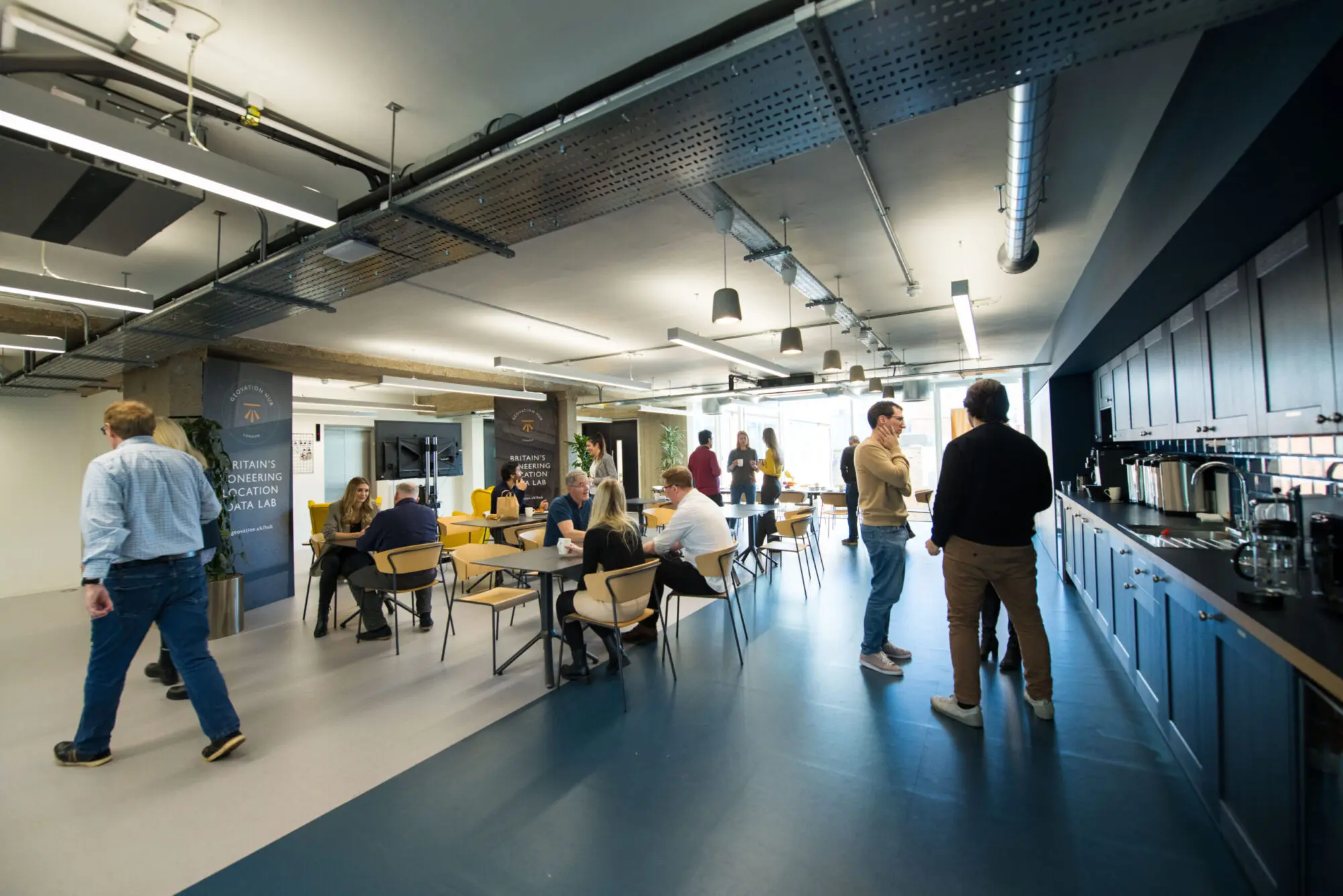
Meet the experts that make up the Geovation team.

Gareth Sumner
Head of Geovation
Gareth leads the Geovation team, and has a wealth of experience in connecting start-ups and corporate innovators to solve challenges. He is driven by the desire to make things better – whether its cities, products or simply life – and sees immense value in innovators and corporates joining forces to solve genuine challenges – whether they are big or small.

Isabelle Chatel de Brancion
Business and Innovation Lead
Isabelle is a seasoned RIBA architect and MBA, turned impact tech entrepreneur. She leads the Ops team (accelerator, marketing, events and community) and focusses on developing and delivering the best customer experience as well as new opportunities.

Jonathan Lewis
Technical Lead
Lewis leads the Technical team at Geovation, he has a wealth of experience in building complex scalable geospatial solutions to solve business needs. He loves a good map and anything related to data. Lewis has a background in maritime navigational systems.

Alex Reynolds
Programme & Community Lead

Aidan Watts
Development Manager
Aidan oversees the Geovation Ecosystem development, fostering partnerships and connecting stakeholders. Aidan has a background in GIS, Environmental Sciences and has a passion for entrepreneurship. He is keen to help develop startup propositions and identify unique innovations.

Wayne Newton
Innovation Project Manager
Wayne is the Account Manager in the Commercial team at Geovation. He is responsible for developing and running Geovation’s Innovation as a Service including Innovation Challenges, Hackthons, Geo Sprints and Ideathons. He has a keen interest in the environment and the impacts of climate change and pollution, a passion for mapping and has achieved a BSC and MSC in Geographical Information Systems. He is currently studying for his MBA.
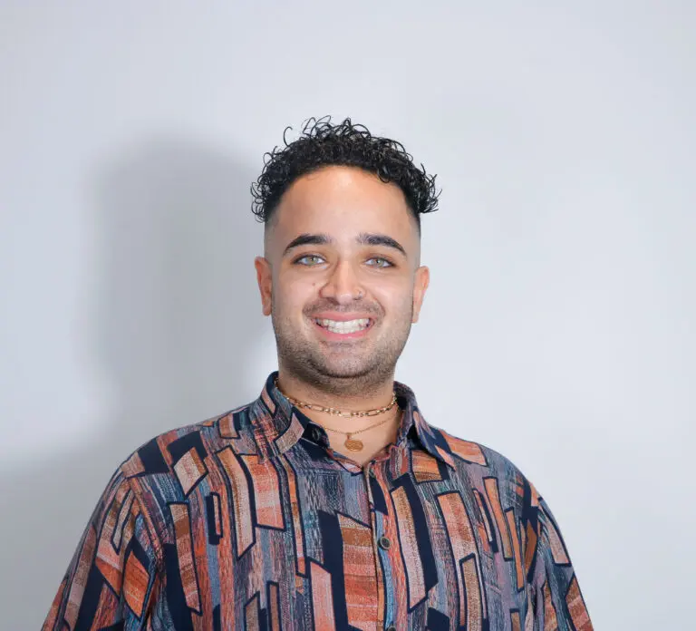
Shaheer Khan
Community Manager
Shaheer is the Community Manager at Geovation. He has a background in education, government, and start-ups. He is main point of contact for members of the community – you’ll find him at the Geovation hub or online available for a chat! His day-to-day responsibilities include managing the operations of the Geovation hub, carrying out inductions for new members and organising and delivering community events to drive engagement.
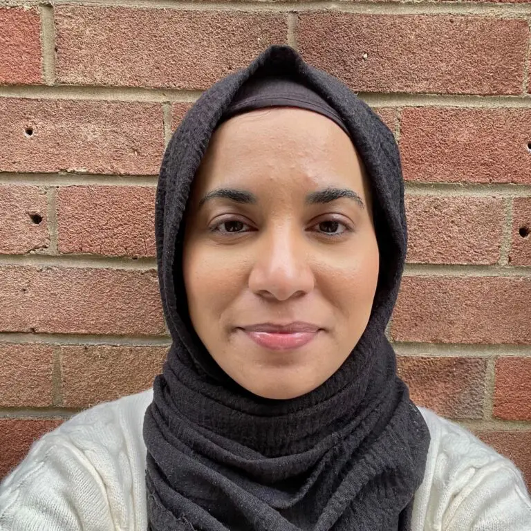
Nourin Abdal
Hub and Finance Manager
Nourin is the hub and finance manager of Geovation. She looks after all the facilities and operational side of stuff for the office as well as making sure everyone is paid on time. Nourin also helps with the organisation and creation of events for our community.
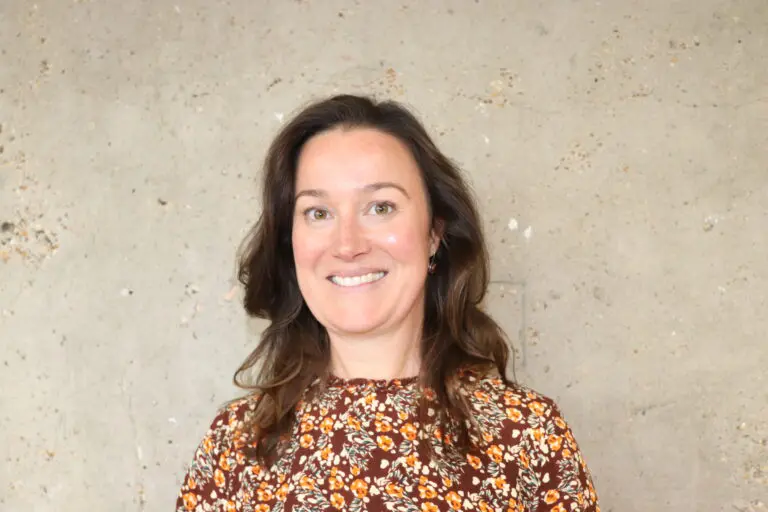
Emma Sylvester
Marketing Manager
Emma oversees all the marketing needs for Geovation. She has a background in Communications and Graphic Design and is responsible for delivering all marketing and communications across Geovation’s channels to grow awareness of our business and entrepreneurial community, and drive membership and programme applications.

David Rowe
Full stack Developer
Dave has 20 years industry experience in mobile, database, desktop, and web software. From Microsoft technologies to more recently modern JavaScript web frameworks, and geospatial software. He has a background in community open data and is passionate about working in the open to make things better.
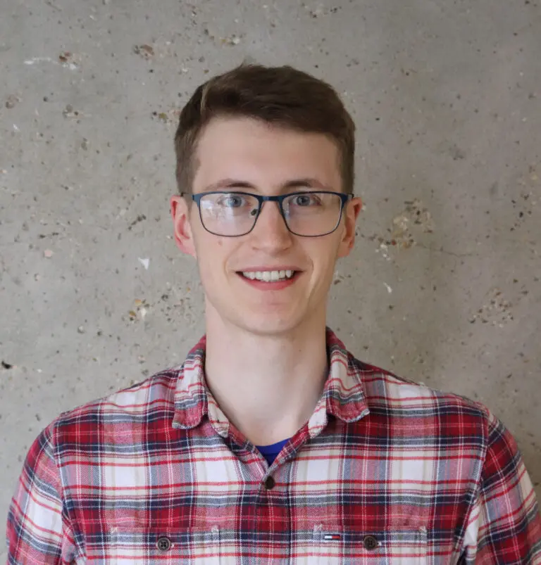
Murray Chapman
Associate Geospatial Developer
Murray has a particular interest in spatial statistics and intuitive data representation. With a Master of Research in Spatial Data Science and Visualisation, he has acquired a range of experience and technical capability from his two years at OS, covering consultancy and business intelligence.
This page was last updated on January 20th, 2025