Introducing our next startup cohort
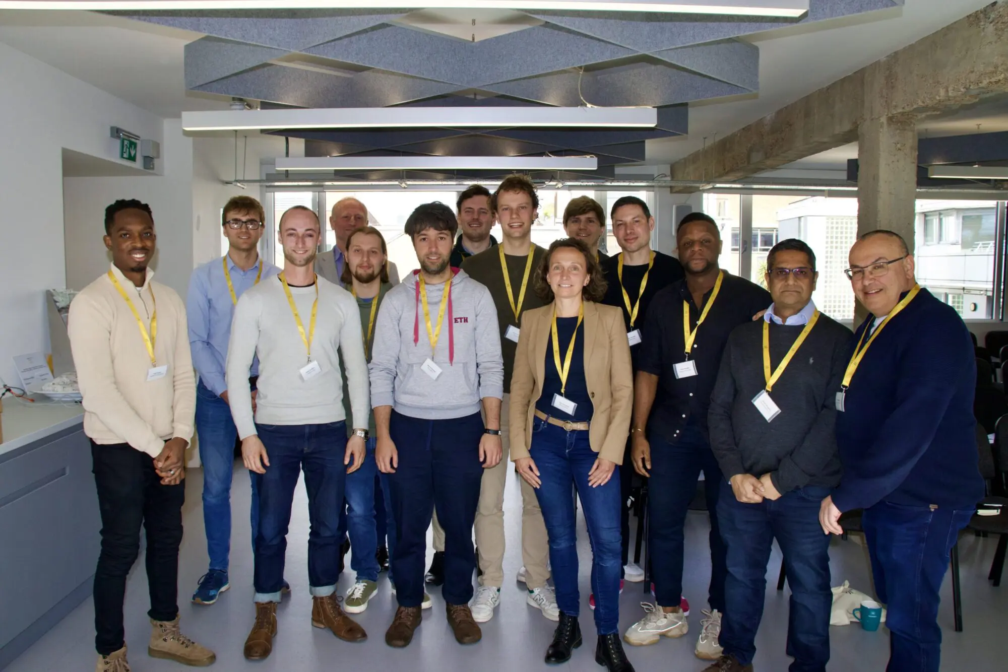
Eight talented start-ups achieve a place on the highly anticipated Spring Accelerator Programme at Geovation.
It has proven to be an incredibly competitive year for applicants to join this year’s Spring Accelerator Programme. Made possible through the integral partnerships Geovation holds with Ordnance Survey (OS) and HM Land Registry (HMLR), it has become a magnet in attracting some of the most promising innovators in both the GeoTech and PropTech sectors. Over the years Geovation has helped to support more than 160 startups and retains an active community of over 2000 members, making it a spearhead within geospatial and a catalyst for entrepreneurialism.
The combined purpose of the accelerator is to provide meaningful growth opportunities for our founders to optimise their innovation strategy for commercial success. More specifically this support comes in an indispensable package that includes £20,000 equity-free funding, data access, bespoke mentoring, access to the Geovation Hub and exposure to a vast network of industry leaders.
Working with inspiring founders and groundbreaking startups is what Geovation is all about – and this group of founders will make a big impact on the world. I’m proud that we’ll be a small part of making this happen.
Gareth Sumner, Head of Geovation

Our new PropTech startups
Utilising the specific access and support from HMLR are a new cohort of three property sector startups looking to revolutionise across conveyancing, house-hunting and property development.
Navro Compliance is revolutionising the conveyancing process through innovative online solutions. They are looking to launch with “ART”, Auto Report on Title, which is an AI tool that cuts down by at least 50% the time it takes for the Report on Title to be produced by the conveyancer.
Mappa Technologies recommends neighbourhoods and homes to house-hunters using AI & geospatial data. Guiding users through the journey, providing them the right insights, understanding and referrals. Mappa aims to partner with the industry to provide users a seamless journey, from dream to doorstep.
PlanningHub uses artificial intelligence and Large Language Models to sieve through property and planning data, simplifying searches to establish the planning feasibility of property development. Their platform analyses complex policies and past planning decisions, offering rapid planning guidance.
By offering our data, funding and mentoring to the new cohort over the next 12 months, we’re supporting the next generation of data-led PropTech entrepreneurs. We’re excited to work with them and see how they transform the property industry and beyond.
Lynne Nicholson, Lead Product Manager (Data) at HMLR
Our new GeoTech startups
With a focus on geospatial data and with keen interest from Ordnance Survey we welcome three funded and 2 non-funded startups to the GeoTech cohort who look to innovate across planning, infrastructure, retrofitting, construction and wildfires.
Planlab.ai is on a mission to invent AI-optimized collaborative planning to deliver infrastructure projects on time and budget. Their first product focusses on infrastructure and construction, designed to allow project teams to collaboratively bake in understanding of what drives project outcomes into the planning process.
SchemeFlow is a UK startup which is using Chat-GPT style AI to draft technical reports in the UK planning and construction industry, starting with transport planning. SchemeFlow’s technology accelerates the manual work that goes into drafting these reports, allowing technical consultants to do work that currently takes days in minutes.
Building Atlas has a vision to make a sustainable commercial real estate sector a reality. Using machine learning and big data to rapidly scale building retrofits, starting with a plan they generate in seconds. After all, the most sustainable building is the one that already exists.
TerraGrid is approaching the escalating global risk of wildfires that annually inflicts $50 billion in damages. Risk professionals in the insurance industry are looking for new means to manage this risk. TerraGrid delivers the best-in-class granular datasets & models on wildfires. Their products range from wildfire risk maps, relative risk scores & financial models.
Moonbility assists transport operators and infrastructure owners by simulating and visualising the impacts of asset failures and unavailability. Its AI-powered platform uses advanced geospatial analysis to provide clients with a comprehensive, human-ready single source of truth about their environments.
“We’re delighted to both provide support to and learn from the new GeoTech start-up cohort, who are bringing innovative thinking and pace to solving some substantive problems facing business and government in a range of sectors, using the power of geospatial data.”
Jo Cutting, Head of Software Propositions, OS