Our Judges for 2024

The stage is set, and the judges are ready! Take a look at our global cohort of experts, industry leaders, and visionaries – handpicked to evaluate the 2024 Geospatial Innovation Awards. Stay tuned for more judges to be announced.

Cities of the Future
Jarek Marciniak


Director of Geospatial Services at Spyrosoft
Jarek brings his wealth of experience in the industry directly to the Cities for the Future category. With a background in Geoinformatics and extensive expertise in the geospatial service industry, he champions trust, professionalism, and partnership – values crucial for judging impactful urban innovations.
Kathy Nothstine


Head of Future Cities at Challenge Works
Kathy empowers cities to build their tomorrow. From sustainable mobility to drone integration, her expertise spans projects like the $9 million Sustainable Cities Challenge and the multi-sector Flying High initiative. With 15+ years in urban planning, Kathy brings a passion for communities and a keen eye for transformative innovation.
Joanna Averley
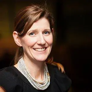

Chief Planner at DLUHC
Joanna brings 30 years of town planning experience across government, major projects, and local authorities. Her expertise spans planning research, policy formulation, practice, and project execution. She has been involved in significant regeneration and masterplanning endeavours, from Manchester City Centre to the London Olympics.
Fayez Al Sayil
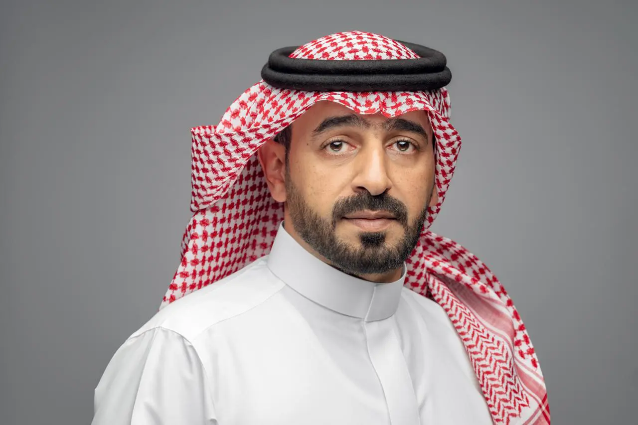

Director at the MDA Geographic Information Center
Fayez Al Sayil, a geospatial technology and urban development leader, directs the Geographic Information Center at Madinah Region Development Authority. With a Master’s in Geo-information technology, and over 14 years experience in the Geospatial field, he’s been instrumental in advancing Saudi Arabia’s Vision 2030 through his leadership in creating the award-winning Manara Urban Platform.
Alex Wrottesley


Managing Director at Landmark Geodata
Alex leads Landmark Geodata, a top UK land data provider. He develops growth strategies for their digital platforms and creates new geospatial data solutions for customers. Alex has a rich background in geospatial technology, having founded Near Global, an immersive real-world data visualization company and previously leading Geovation prior to joining Landmark.
Mike Harlow


Deputy Chief Executive and Director of Customer and Strategy at HMLR
Mike, an Imperial College graduate in mechanical engineering, transitioned to law and served as a solicitor in London for 15 years. He joined HM Land Registry as General Counsel and Deputy Chief Land Registrar in 2018, and temporarily served as Acting Chief Executive and Chief Land Registrar in 2019. Mike also spent 11 years as the legal director and corporate secretary at English Heritage, gaining board-level experience in organisational change and heritage law reform. After four years at HM Land Registry, he assumed the role of Deputy Chief Executive and Director of Customer and Strategy.
Qasim Al Harasi


Lead of Greater Muscat Planning section at the Ministry of Housing and Urban Planning
With over 16 years of experience in urban planning, Qasim currently leads the Greater Muscat Planning section at the Ministry of Housing and Urban Planning. In this role, he actively directs the Ministry’s efforts to build smart cities in Oman. This includes spearheading the development of Sultan Haitham City, Al khuwair Downtown, and Bawshar City, all utilising innovative geospatial solutions for sustainable urban growth. Qasim is passionate about leveraging these technologies to create smarter, more resilient urban environments.
Damien McCloud
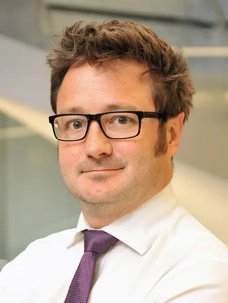

Director for Geospatial and Earth Observation at Arup
Damien is the Director for Geospatial and Earth Observation at Arup, boasts a rich career history with prestigious organisations such as Transport for London, the Environment Agency, KBR, and BT. Recognised early on for his exceptional work in Geographic Information Systems, he was granted a chartership from the Royal Geographic Society. With a wealth of experience spanning over 25 years and various sectors, Damien holds esteemed positions on the Professional Advisory Committee for the Royal Geographic Society and numerous academic advisory boards. He also imparts his knowledge as an honorary professor at University College London.

Nature and Environment
Lara Prades
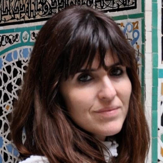

Head of Research Assessment & Monitoring at UNFWP
Lara is a seasoned Senior Geospatial Analyst, at the helm of the Research, Analysis, and Monitoring Unit within WFP Pakistan. She had previously worked at the Climate and Earth Observation Unit, where she served as the Project Coordinator for PRISM and AIMS.
Her expertise lies in geospatial analysis tailored for humanitarian applications and risk-informed programming. Holding a PhD in Geomatics from ITHACA, her academic background and practical experience make her an ideal judge for the Nature and Environment category.
Sarah Hodgetts

Director of the UK Geospatial Commission
Sarah Hodgetts, Director of the Geospatial Commission, brings extensive experience in science, environment, and economic policy. Previously, she led policy initiatives like establishing ARIA and developing the £14.8bn Pioneer R&D programme.
Her 23-year career spans across economic departments, Treasury and No 10., including leading roles in delivering the Industrial Strategy and managing the apprenticeship levy. Sarah’s qualifications in industrial economics and her background in management accounting further strengthen her expertise as a judge.
Jarkko T. Koskinen


Deputy Director General of National Land Survey of Finland, and Director of Finnish Geospatial Research Institute
Jarkko T. Koskinen is Deputy Director General of National Land Survey of Finland and Director of Finnish Geospatial Research Institute (FGI) and Chairman of ESA’s Programme Board on Earth Observation (PB-EO). He is a member of Finnish Academy of Science and Letters and he has served as national delegate to Eumetsat, Copernicus committee (EU) and Group on Earth Observation (GEO). Prof. Koskinen has acted as reviewer of several international journals and conferences. He has authored and co-authored over 100 scientific papers.
Cathrine Armour
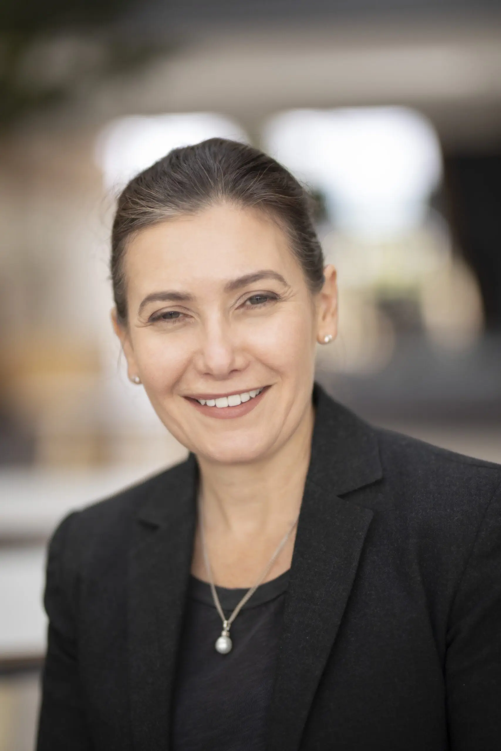

Director of Data Initiatives at TNFD
Cathrine is the global Director of Data Initiatives for the Task Force on Nature Related Disclosures (TNFD). Previously, she was the Chief Responsible Investment Solutions Officer for the Principles for Responsible Investment (PRI), where she led a successful redesign of the reporting framework, tool, and data platform.
With a career founded in geospatial data and technology, Cathrine is an advocate for open data and its value in global policy development and decision-making. She has held key roles, including the inaugural Director of the Southwest Centre of Excellence for Satellite Applications, founder of Ordnance Survey’s ‘Geovation’ Accelerator and Hub, and leader of the international Eye on Earth programme.
Adnan Alalyani
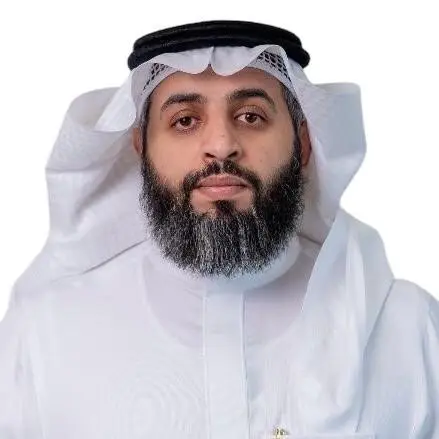

General Director of Environmental Permitting, Licensing and Modern Technologies at NCEC KSA
Adnan is a subject matter expert in Climate Change and Environmental Compliance and holds 16 years of technical experience in various fields including environmental technologies and oil and gas. Currently, he is the CEO Advisor on International Cooperation and the General Director of Environmental Technologies Department at the NCEC.

Contribution to Diversity
Nick Bolton


CEO of Ordnance Survey
As Chief Executive Officer, Nick is responsible for executing the OS strategy, and leading the organisation as world leaders in geospatial services; creating location insight for positive impact.
Nick joins OS from software group Oxford Metrics, where he was CEO for 18 years. He brings extensive commercial, product and marketing experience in growing international technology businesses. His strong track record in successfully leading teams and delivering strategic priorities, alongside driving development in both existing and new markets, is helping shape OS’s future growth.
Valrie Grant


Founder & Chairwoman at GeoTechVision
Valrie is an esteemed entrepreneur and Geospatial Strategy consultant who champions diversity in the geospatial innovation sector. Beyond her executive role at GeoTechVision, she hosts the “Mapping the Conversations” Podcast, advocates for technology and entrepreneurship, and mentors emerging women entrepreneurs and youths.
Her impact extends globally, as she chairs the UN-GGIM: Americas Private Sector Network and serves as vice-chair of the UN-GGIM PSN at the global level. Her extensive contributions exemplify her commitment to breaking barriers, fostering inclusion, and empowering underrepresented voices.
Dr. Gobe Hobona
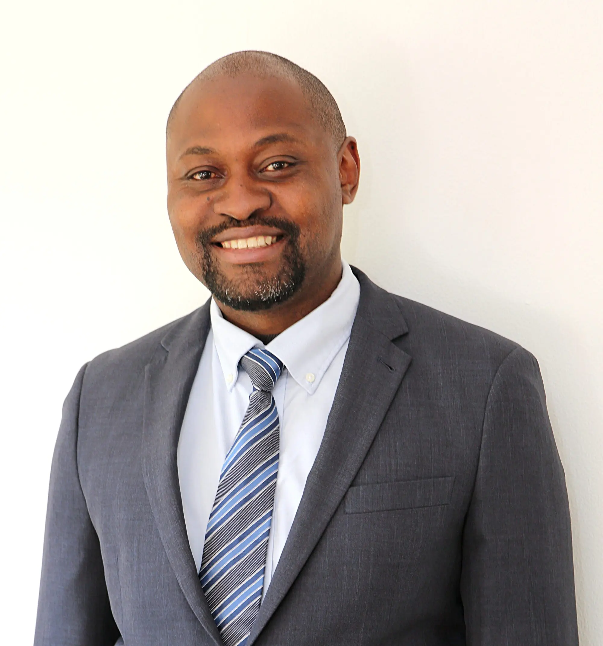

Director of Product Management for Standards at the Open Geospatial Consortium (OGC)
Dr. Gobe Hobona is the Director of Product Management for Standards at the Open Geospatial Consortium (OGC). In this role, he provides oversight of evolution and harmonization of OGC Application Programming Interface (API) Standards. He identifies opportunities for investment in working group participation and innovation initiatives to help advance OGC API Standards. He also serves as Chair of the OGC Naming Authority and Co-Chair of the OGC Architecture Domain Working Group. He holds a PhD in Geomatics from Newcastle University. He is a professional member of the Royal Institution of Chartered Surveyors (RICS) and the Association of Computing Machinery (ACM).
Ravi Shankar


GIS Head at the WHO GIS Centre for Health
Ravi Shankar is a seasoned professional in the field of Geospatial Information Systems (GIS), currently leading the GIS Center for Health at the World Health Organization (WHO). His significant contributions span across health outbreak and crisis response, including his pivotal role in the Global Polio Eradication Initiative (GPEI) and the Ebola response. Prior to WHO, Ravi’s expertise in emergency response mapping and situational awareness was honed at UNOSAT, where he also designed a Master’s level GIS course for Copenhagen University’s Disaster Management Degree Programme. His career began in urban planning, contributing to the master plans of Libya and Port Blair. His diverse experience brings a unique perspective to our panel of judges.

Protection of Life
Olivia Powell


Head of Geography and Geospatial at ONS
Oliva is a geospatial expert with 20+ years of experience. Leading the ONS’s geospatial division, she’s shaped national infrastructure and championed data for public good. Her passion, ignited at La Sorbonne University, has led her through diverse roles in environments like law enforcement and central government. A champion for inclusivity, she co-founded Women+ in Geospatial, a global network of 5,000 women. Olivia’s expertise, passion, and commitment to inclusivity make her an invaluable judge, ensuring impactful solutions for the Protection of Life category are recognised.
Dr. Laura Gilbert


Director of Data Science at 10DS
Dr. Laura Gilbert, a Particle Physics doctorate, leads the 10DS data science and analytics team at Downing Street. She’s also the Incubator for Artificial Intelligence (i.AI) director and joint Chief Analyst for the Cabinet Office. Her teams drive policy support, deliver expert data and AI solutions, and champion evidence-based decision making. Dr. Gilbert spearheads the Evidence House program, fostering innovation and digitisation in central government. She’s a Visiting Professor at LSE and holds fellowships with the Institute of Physics and Institute of Analytics.
Kate Chapman


Chief Technology Officer at Open Supply Hub
Kate Chapman, a technologist, geographer, and farmer, champions the transformative potential of digital commons. As the Chief Technology Officer at Open Supply Hub, she spearheads technical strategy and execution, creating tools for accurate and actionable supply chain information in an open context. Kate also leads the Humanitarian OpenStreetMap Team (HOT), advocating for open mapping to enhance community resilience. Her expertise lies in socio-technical systems that bridge human-computer interactions, providing better decision-making information.
Nadine Alameh


CEO of the Open Geospatial Consortium
Nadine is the CEO of the Open Geospatial Consortium (OGC) – a global not-for-profit membership organization hosting the largest collective-problem solving community of experts making geospatial/location information Findable, Accessible, Interoperable, and Reusable (FAIR) via open standards, innovations, and partnerships.
Dr. Alameh is an appointed member of the U.S. National Geospatial Advisory Committee (NGAC) and sits on the board of the UN a Committee of Experts on Global Geospatial Information Management (UN-GGIM) Private Sector Network. Nadine was awarded the 2022 Geospatial World Diversity Champion award and the 2019 Geomatics Canada Diversity Leadership Award.
Nadine has a Ph.D. and 2 M.S. degrees from MIT in the field of Geographic Information Systems (GIS).
Claire Milverton


CEO of 1Spatial
Claire, CEO of 1Spatial plc since 2017, is a collaborative leader with a vision to unlock the value of data for a safer, smarter, and more sustainable world. She champions innovation, as seen in the SaaS-based 1Streetworks application, which automates traffic management plans. With a finance background and over 25 years in the tech sector, including a stint at PricewaterhouseCoopers, Claire understands the importance of data governance. She is also a qualified Chartered Accountant.

Scottish Geospatial Technology
Ashley Stewart


Senior Consultant at Optimat (Delivery lead for Location Data Scotland)
Ashley co-ordinates and manages Location Data Scotland, on behalf of Scottish Government, to transform services and create new products using geospatial technologies and/or location data in Scotland.
She specialises in data, digital and emerging technologies. She is experienced in techno-market/demand analysis, technology roadmap development, strategy and commercialisation support to private and public sector organisations.
She has a BA (hons) Marketing, an MSc IT with Web Development and a PhD in Technology Enhanced Learning and Communities of Practice.
Alan Corbett


Head of Geospatial at the Scottish Government
Alan is the Head of Geospatial at the Scottish Government, has been a driving force in promoting Geographic Information Science (GIS) within government and the Scottish public sector. His expertise has elevated GIS mapping and analysis to an integral part of decision-making processes for policy directorates and senior ministers.
Alan advises both internal and external stakeholders on how GI data, systems, and analytical processes support strategic decision-making across all Scottish Government Directorates and partner organizations. His role in the Public Sector Geospatial Agreement (PSGA) ensures robust, timely data and value for money, benefiting all Scottish Public Sector organisations.
Ken Gordon
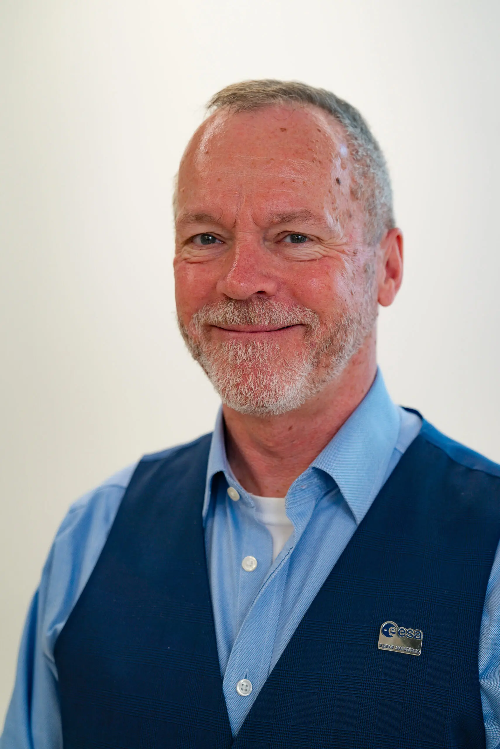

Business applications UK Ambassador at ESA
Ken is at the helm of Tin Rocket Space Ltd., and he proudly holds the title of ESA Ambassador for Scotland and Northern Ireland. Boasting 18 years of expertise in securing funding for innovation, Ken has been pivotal in navigating the complexities of UK and EU financial landscapes. His current focus lies in fostering the ambitions of space-enthused entities, guiding them towards successful applications for ESA BASS funding for their space-enabled services.