Accelerator Programme

Empowering early-stage entrepreneurs to bring well-validated, data-driven solutions to market.


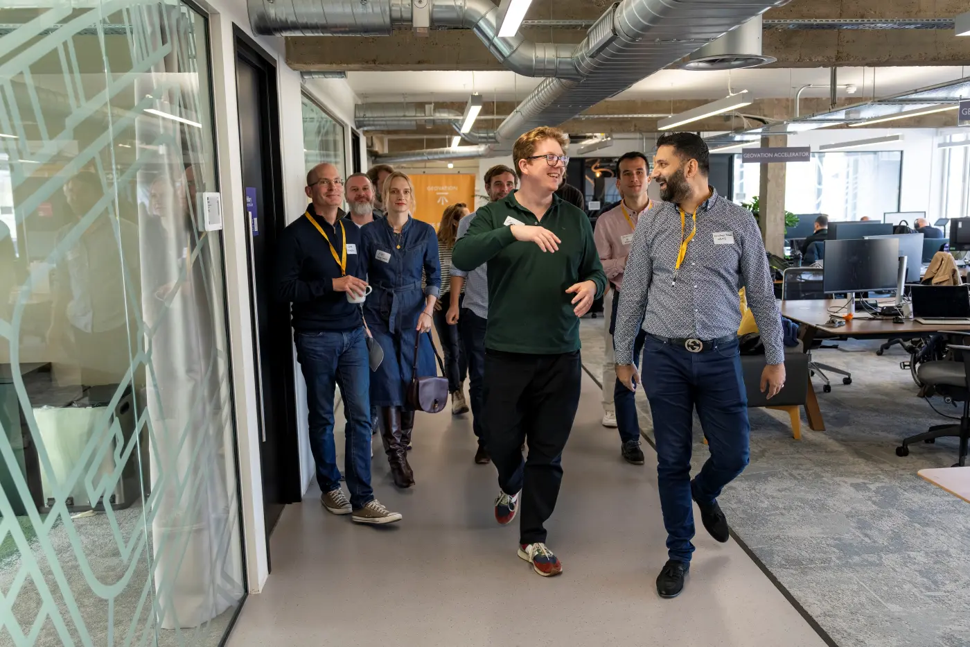
The award-winning Geovation Accelerator Programme is designed to support early-stage entrepreneurs with well-validated ideas to go-to-market with location, land & property data-driven solutions. An Ordnance Survey initiative in association with HM Land Registry, it has supported over 150 startups since its inception.
in association with

Founders will receive 6-months of intensive support followed by 6-months of hands-off support, that includes:

Funding
You will receive up to £20,000 equity-free funding, broken down into 5 instalments across 12 months.

Data
Founders gain access to a range of open and proprietary datasets from our programme partners.

Coaching
A coaching offering to discuss any aspect of the founder’s experience, be that personal or business.

Bespoke Support
Dedicated support from our team of geospatial experts, corporate partners, alumni and market leads.

Workshops
Tailored support from industry experts with a focus on technology, customer and business model.

Final Showcase
Our showcase is an event where our founders get to pitch and network with our wider ecosystem.

Workspace
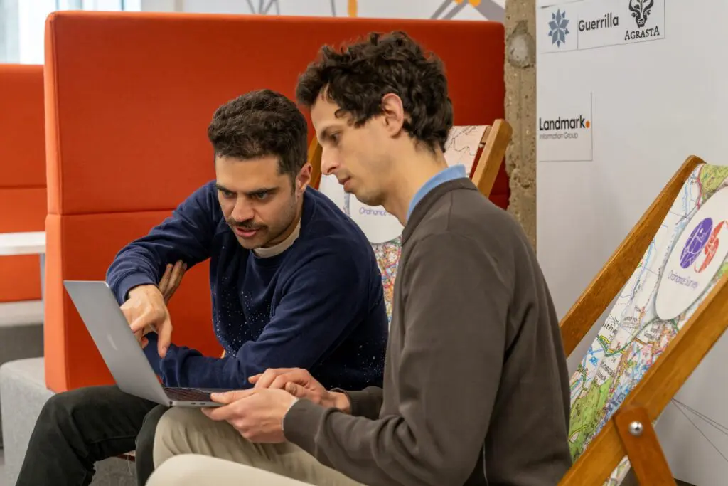
We provide 18 months of desk space and bookable meeting rooms for your team at our Hub in London.

Industry events
Opportunities to present your business at leading industry events and in communication activities.

What’s the difference between Location Intelligence and PropTech?
The two tracks of the programme are run as one single programme with the same benefits.
Location Intelligence
Location Intelligence, supported by Ordnance Survey, focuses on startups using national mapping and location data.
We’re particularly interested in solutions that address the question:
• Infrastructure
Can land mapping and underground asset information improve efficiency and reduce operational risk for utilities, contractors or local authorities?
• Transport
Can richer mapping, movement or property data help logistics and transport operators optimise networks, sites and routes while reducing cost, disruption and risk?
• Risk & Resilience
Can property‑level environmental and climate risk insights improve decisions for insurers, councils or emergency planners?
PropTech
PropTech, in association with HM Land Registry, supports startups using land or property data to transform the property industry.
We’re particularly interested in solutions that address the question:
→ Can location and building data reduce planning risk, valuation uncertainty or transaction failure for housebuilders, lenders, conveyancers or buyers?
If your solution doesn’t fit these themes, we still welcome applications from startups using national location, land or property data in innovative ways that open new markets or unlock new use cases.
How to apply
We open applications twice a year for startups to join our Spring and Autumn Cohorts.
The application process consists of two stages:
1. Application Form: provide detailed information about your problem, solution, validation and market.
2. Interview: if shortlisted, you’ll be invited to discuss further your business and its fit for the programme.
We will select 3 startups for each track to join our accelerator programme.
Find out more
Catch up on this webinar recording to explore the practicalities of applying, and hear first-hand from two of our recent cohort founders about what you can expect from the programme.


Geovation Scotland
Geovation Scotland is a collaboration between Registers of Scotland and Ordnance Survey that exists to support and accelerate location and property innovation in Scotland. We are proud to support some of Scotland’s most innovative technology startups unlock greater value from Scotland’s national geospatial, land and property data assets.