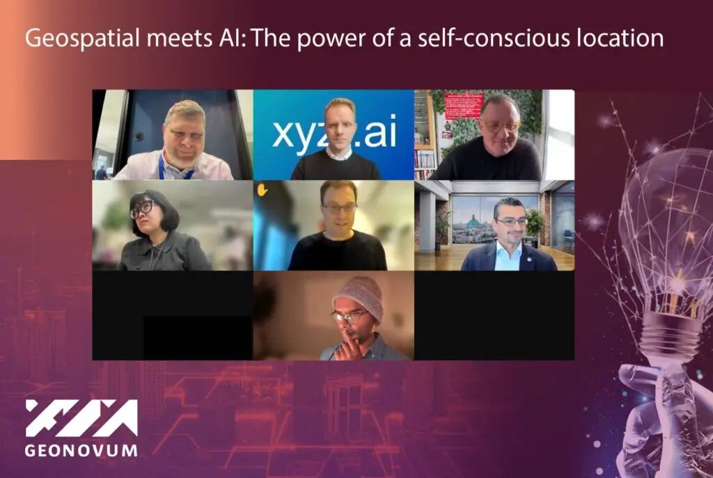
Geospatial meets AI: The power of a self-conscious location
On 30 January, tech enthusiasts, business leaders, and government officials joined online for Geospatial meets AI: The power of a self-conscious location which explored the transformative impact of artificial intelligence (AI) on geospatial technologies on how we understand and interact with our environment.
Featuring a collection of experts from business, NGO and academy, speakers presented on a set of key themes focused around AI advancements in geospatial data analytics and decision-making set to improve applications in mapping, navigation, and geographic information systems (GIS):
Transformative Innovations: Exploring how cutting-edge technologies are pushing the boundaries of spatial awareness, leading to locations that are actively responsive and self-aware.
Industry Impact: Highlighting how AI and geospatial data are reshaping industries and paving the way for intelligent, self-conscious locations.
Opportunities and Challenges: Discussing the potential in the evolving geospatial world and driving the power of location intelligence forward.
Challenges ahead
However, challenges such as data quality, structure, and context must be addressed to fully harness AI’s potential, with three common challenges emerging from the session:
Data Quality and Structure: Many speakers emphasized the importance of high-quality, well-structured data for effective AI applications. They highlighted challenges related to data context, reliability, and bias, stressing that the success of AI in geospatial technologies heavily depends on the quality of the input data.
Standardisation and Integration: The need for standardization across industries and countries was a recurring theme. Speakers discussed the hurdles posed by the lack of global AI standards and the importance of cross-sector collaboration. They also addressed the challenges of integrating AI with geospatial data, focusing on improving mapping, navigation, and GIS applications.
Education and Training: Several presentations underscored the necessity of educating individuals and organizations on effectively utilising AI and geospatial data. This includes providing accessible tools and training to bridge the knowledge gap, fostering practical solutions, and ensuring that AI technologies are understandable and trustworthy.
These elements reflect the collective focus on improving data quality, establishing standards, and enhancing education to advance the integration and adoption of AI in geospatial technologies.
By focusing on these key challenges, the field can work towards more effective and trustworthy AI applications in geospatial technologies.

Notes to editors
This webinar is part two of the webinar series Location and AI: Mapping the Future with Artificial Intelligence, hosted by the geospatial expert organisations, Location Innovation Hub, Geovation UK and Geonovum, with partners including Eurogeographics and the Open Geospatial Consortium.