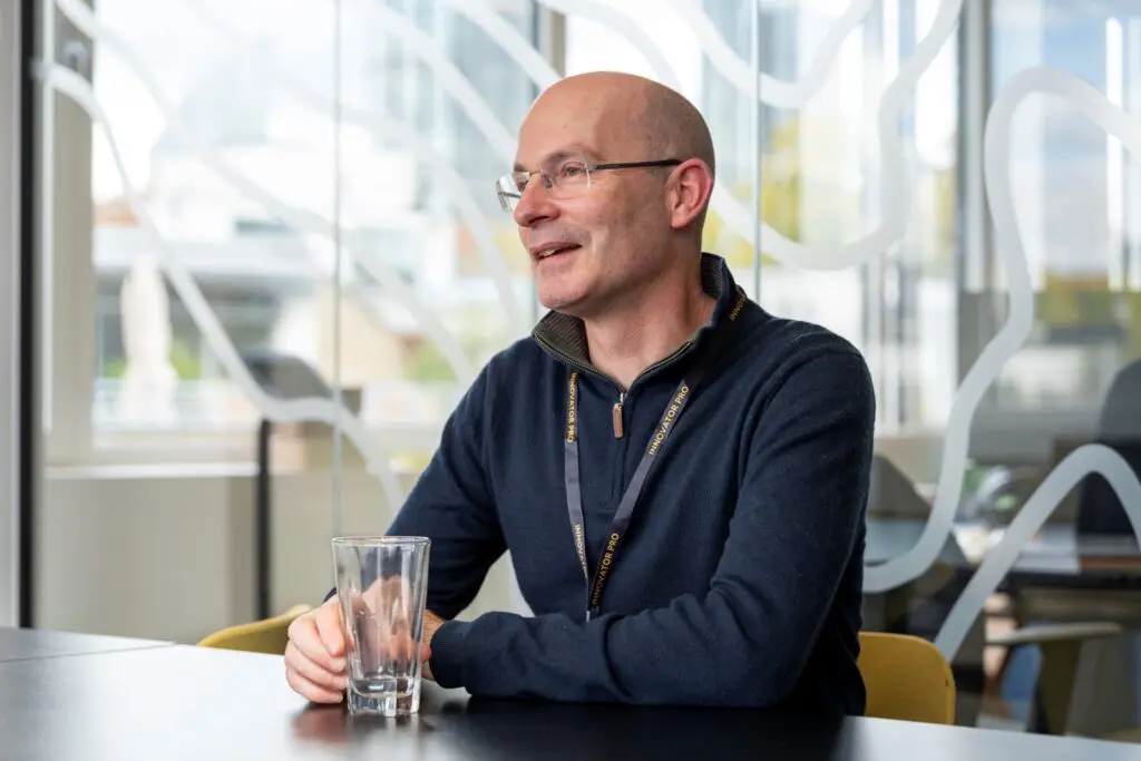
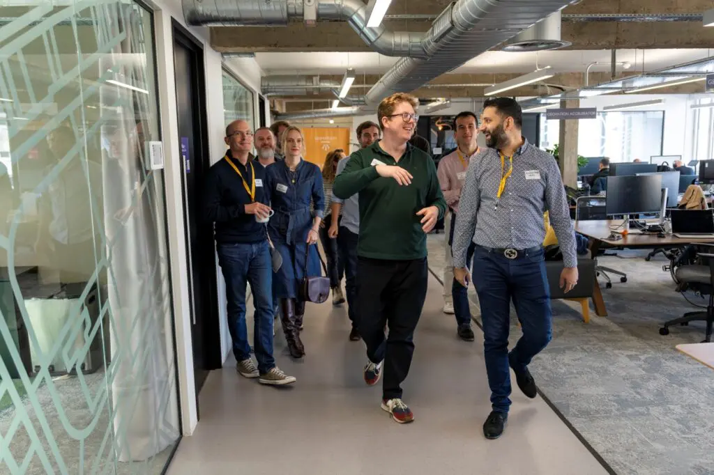
Welcoming the 21st cohort of data-driven founders
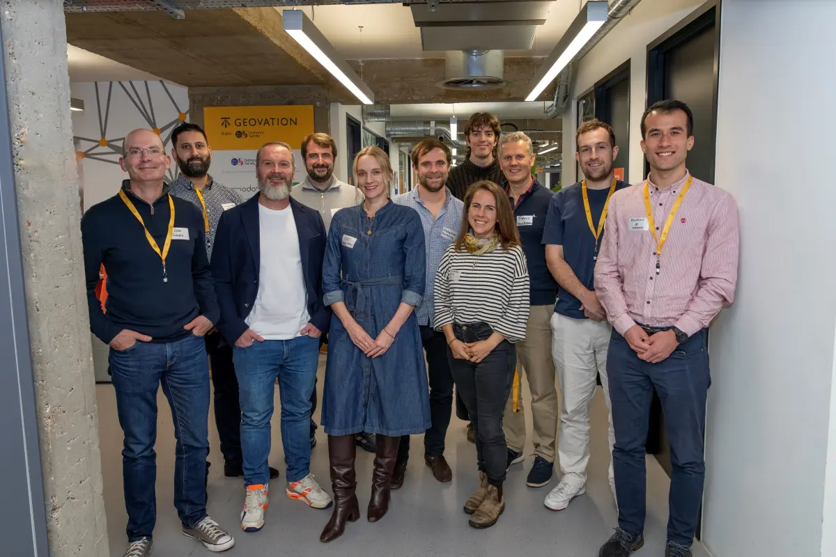
As Geovation marks 15 years of location-powered innovation, we’re proud to welcome seven new start-ups into our award-winning programme—each bringing bold ideas, deep purpose, and data-driven solutions to some of society’s most pressing challenges.
Seven Start-Ups, One Mission: Solving Real-World Challenges with Location Intelligence
From AI-driven planning and biodiversity metrics to leasehold reform and property condition transparency, these founders are tackling real-world problems across the geospatial and property sectors with urgency and imagination. And they’re doing it with location, land and property data at the core.
PropTech Track: Transforming Property Through Data-Driven Innovation
In association with HM Land Registry (HMLR), the PropTech track supports start-ups reshaping the property market with transparency, efficiency, and user empowerment.
- Liberty Bell Ethical Enfranchisement (LBEE): Championing leaseholder empowerment with accessible solutions to overcome the challenges of the broken leasehold system.
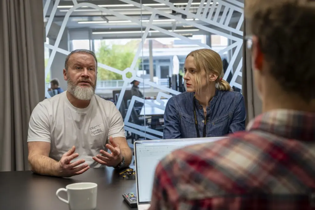
- Survey Shack: Making property condition visible and understandable through smart tech and guided inspections.
- UK Planning Gateway: Simplifying planning applications with AI validation, OS mapping, and real-time guidance via AskArchi.

These teams are bringing compassion and practical innovation to long-standing property challenges—instilling greater confidence in the market and supporting HMLR’s mission to modernise the sector.
GeoTech Track: Pioneering New Destinations for Location Data
In collaboration with Ordnance Survey (OS), the GeoTech track explores new frontiers for geospatial innovation—unlocking value in agriculture, biodiversity, business intelligence, and planning.
- Oko: Helping farmers navigate funding schemes with geospatial intelligence and AI.
- TransHumanity: Redefining business intelligence with agentic AI that turns fragmented data into actionable insights via chat.
- Stratum: Accelerating planning applications for developers with AI-generated technical assessments reviewed by experts.
- Linckia: Simplifying biodiversity and natural capital metrics through geospatial workflows and digital tools.
These start-ups are pushing the boundaries of what’s possible with location data—transforming complex challenges into scalable, user-friendly solutions that drive smarter decisions in sectors vital to sustainability, resilience, and economic growth.
What’s Next?
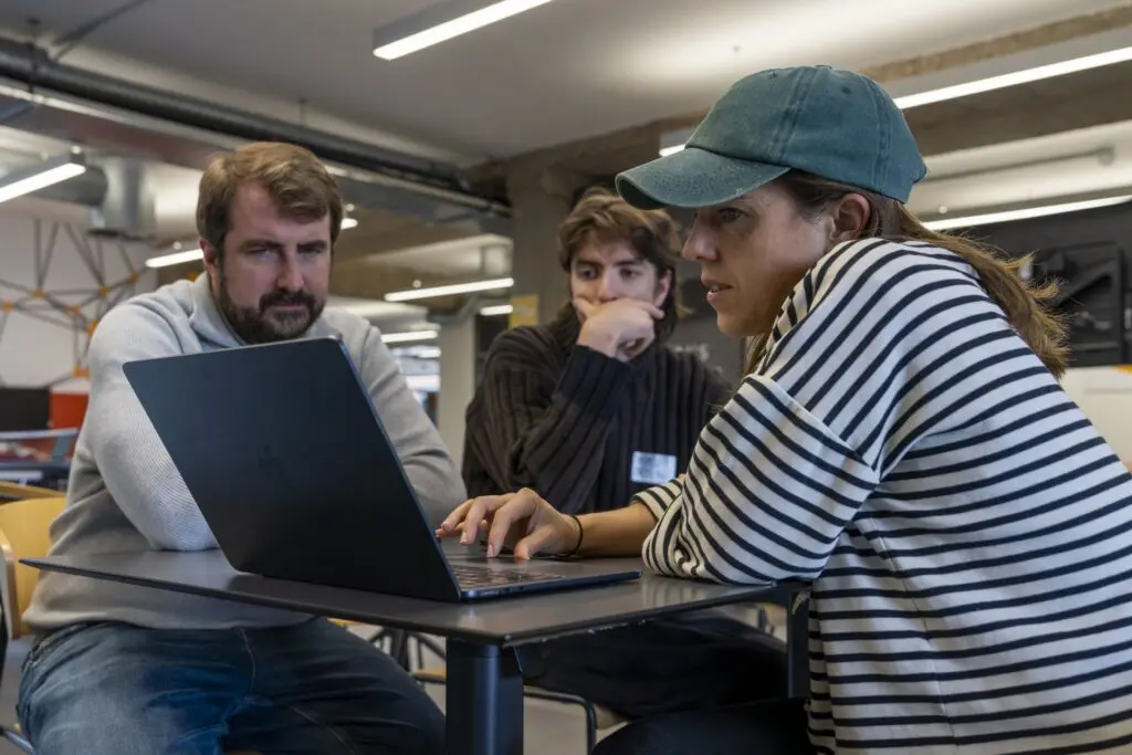
Over the next six months, founders will dive deep into customer discovery, tech development, business models, IP, team building, and funding readiness. With support from the Geovation Tech Team, tailored software development opportunities will also be explored.
As they test, iterate, and scale, we’ll be sharing early insights, prototypes, and collaborations—spotlighting how location technologies continue to shape a more responsive and data-driven future.
Follow their journey and explore how applications leveraging location technologies continue to shape a smarter, more sustainable future:
- meet the start-ups in this latest cohort;
- learn more about the two-track Accelerator Programme;
- join the community and become an Ecosystem member; and
- read the announcement.