Geospatial Innovation Awards
Our Judges

Read on to find out all about latest experts confirmed as judges for the 2023 Geospatial Innovation Awards.
Places for the future
Malcolm Smith
Malcolm is responsible for the commercial delivery of Groundsure’s services to the land and property sector through our sales, marketing and customer services teams as well as various other departments including HR, consultancy and data operations. He has been in the business for >16 years, prior to which he built a successful career at Ordnance Survey, playing a critical role in delivering pricing and licensing change while supporting the GI market through various projects in the private and public sector. His core focus is revenue performance through customer engagement and technical support, ensuring that customers’ gain clear and actionable insights to make empowered land and property decisions.

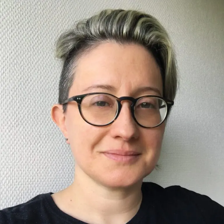
Claire Milverton
Claire has been CEO of 1Spatial plc, a UK AIM listed global geospatial software and solutions company since January 2017 having previously been the CFO.
With a background in finance Claire understands the value of data and the issues that can arise as a result of poor data governance. She has over 25 years’ experience in the technology sector including her time working within 1Spatial and at PricewaterhouseCoopers where she was a technology specialist. Claire is a qualified Chartered Accountant.
With a background in finance Claire understands the value of data and the issues that can arise as a result of poor data governance. She has over 25 years’ experience in the technology sector including her time working within 1Spatial and at PricewaterhouseCoopers where she was a technology specialist. Claire is a qualified Chartered Accountant.
Andrew Trigg
Andrew joined HM Land Registry in 2005 and his current role is Chief Geospatial and Data Officer. His career has focused on the strategic and innovative usage of geospatial data and systems in the public and private sectors.
He began his career as an academic, carrying out post-doctoral research into geospatial systems. He then spent time in the geospatial industry working in commercial roles and for a local authority. He joined the Civil Service in 1995, working for Ordnance Survey for 10 years, where he was responsible for the introduction of the groundbreaking MasterMap. He is a past Chairman of the Association for Geographic Information and board member of EuroGeographics
He began his career as an academic, carrying out post-doctoral research into geospatial systems. He then spent time in the geospatial industry working in commercial roles and for a local authority. He joined the Civil Service in 1995, working for Ordnance Survey for 10 years, where he was responsible for the introduction of the groundbreaking MasterMap. He is a past Chairman of the Association for Geographic Information and board member of EuroGeographics

Cyhana Williams
Cyhana is currently a UX Researcher with Microsoft, focusing on user experience research in software design and development. She is also the Co-Founder of African Women in GIS (AWiGIS) alongside Chidimma Umeogu from Nigeria. AWiGIS is an online community for African Women around the world who study, work or are enthusiasts about the geospatial industry.
Cyhana was also named as one of the 50 Rising Stars of Geospatial in February 2021 and is listed in the Esri ‘Women and GIS – Volume 2’ book. She enjoys talking about Geographic Information Systems(GIS), tech and personal branding.
Cyhana was also named as one of the 50 Rising Stars of Geospatial in February 2021 and is listed in the Esri ‘Women and GIS – Volume 2’ book. She enjoys talking about Geographic Information Systems(GIS), tech and personal branding.

Cristina Savian
Cristina Savian is the CEO and founder of BE-WISE, an international management consultancy firm with offices in London, England, and Melbourne, Australia. Cristina makes it her mission to help drive digital transformation and technology adoption across the construction sector.
In addition to her prominent role as a keynote speaker and conference chair in the field of digital construction from Australia, Saudi Arabia to the UAE, her expertise in digital twins for our built assets makes her a key advocate for the field all around the world, and not surprising she was named one of the most influential individuals in the world of digital twins for 2021 and 2022 in Who’s Who in Industry 4.0.
In addition to her prominent role as a keynote speaker and conference chair in the field of digital construction from Australia, Saudi Arabia to the UAE, her expertise in digital twins for our built assets makes her a key advocate for the field all around the world, and not surprising she was named one of the most influential individuals in the world of digital twins for 2021 and 2022 in Who’s Who in Industry 4.0.
Maitha Alnuaimi
Maitha Al Nuaimi, Acting Director of the GIS Center Department at Dubai Municipality and Director of the Infrastructure and Geospatial Intelligence Section at the Center, has been recognized as one of the best 50 rising stars in the geospatial field and the top 20 ‘GOV Youth-GCC Rising Stars 2021’, for the remarkable contributions and achievements in empowering young people and enhancing their capabilities in the renaissance of and elevate their countries. In addition, of being the first female Emirati drone pilot specialized in 3D mapping. Maitha graduated with distinction from the United Arab Emirates University in 2012 with a bachelor’s degree in Geographic Information System (GIS) and she graduated from the National Program of Artificial Intelligence with a diploma in Artificial Intelligence and graduated from RIT with a master degree of City science in 2021.
Land, air and sea
Denise McKenzie
Denise is a strategic advisor, partnership builder, and presenter with over 20 years of experience across the geospatial profession. Driven by a passion for more equitable access and use of location data she takes pride in her work across data ethics, diversity and inclusion, and the geospatial profession. As the Managing Partner for the new PLACE Trust, she is keen to expand the work of PLACE to ensure that high-resolution imagery is made accessible to governments and a broad range of trusted and responsible organisations throughout the world. In addition, she is responsible for the development of the PLACE Community Membership, ethics and is a co-author of the Locus Charter – 10 principles for the ethical and responsible use of location data.
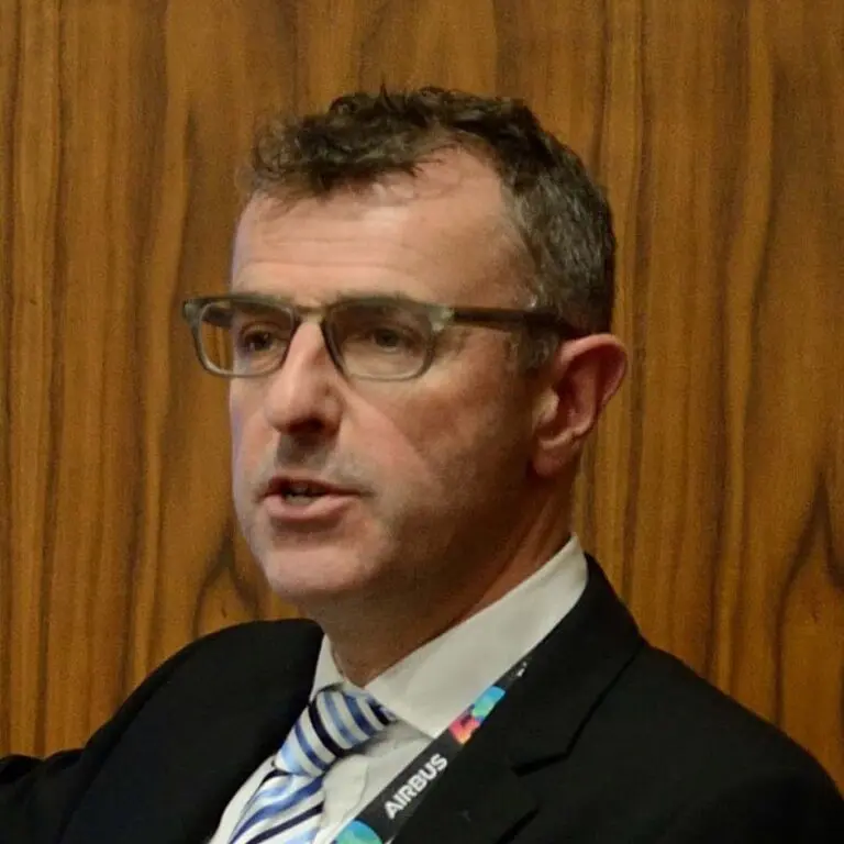
John Wills
From initial work in the field to academia and over 20 years working in industry, John Wills has a wealth of experience in Earth Observation and the wider Geospatial sectors. John graduated from University of Leicester with a PhD in Environmental Health & GIS and completed a BSc Honours in Human Ecology at The University of Huddersfield.
John has been involved in sales, business development and delivery for over 20 years. He worked for a number of companies as sales manager before moving to Mapflow as UK Sales Director. From there, in 2008 he moved to Astrium as Principal Consultant & Senior Account Manager (Geo-Information Services Division) which was then renamed Airbus Defence & Space. John has remained with Airbus Intelligence since, and was appointed UK Head of Sales in January 2020. John has always remained heavily focussed on the utility of imagery and geospatial information as a tool to answer questions and solve problems, using his wealth of knowledge and established relationships.
John has been involved in sales, business development and delivery for over 20 years. He worked for a number of companies as sales manager before moving to Mapflow as UK Sales Director. From there, in 2008 he moved to Astrium as Principal Consultant & Senior Account Manager (Geo-Information Services Division) which was then renamed Airbus Defence & Space. John has remained with Airbus Intelligence since, and was appointed UK Head of Sales in January 2020. John has always remained heavily focussed on the utility of imagery and geospatial information as a tool to answer questions and solve problems, using his wealth of knowledge and established relationships.

Lara Prades
Lara Prades is a Senior Geospatial analyst leading the Research, Analysis and Monitoring Unit in WFP Pakistan.
Lara Prades started her career with WFP as a geospatial analyst in 2008 and led the Geospatial Unit of the Emergency Division for over 4 years. In the last 2 years she worked for the Climate and Earth Observation Unit as Project coordinator of PRISM and AIMS, and recently she joined the WFP office in Pakistan. Lara Prades is an expert in geospatial analysis for humanitarian applications and risk informed programming. She holds a PhD in Geomatics at ITHACA (Information Technology for Humanitarian Assistance Cooperation and Action), in the Polytechnic of Turin.
Lara Prades started her career with WFP as a geospatial analyst in 2008 and led the Geospatial Unit of the Emergency Division for over 4 years. In the last 2 years she worked for the Climate and Earth Observation Unit as Project coordinator of PRISM and AIMS, and recently she joined the WFP office in Pakistan. Lara Prades is an expert in geospatial analysis for humanitarian applications and risk informed programming. She holds a PhD in Geomatics at ITHACA (Information Technology for Humanitarian Assistance Cooperation and Action), in the Polytechnic of Turin.

Mattie Yeta
Mattie Yeta was appointed as Chief Sustainability Officer for CGI in the UK in March 2022. A member of CGI’s UK Executive. She has substantial experience and expertise in sustainable development at strategic and delivery levels across the public and private sectors. She has led substantive change in the sustainable development arena through various boards she sits on. She has obtained significant experience in stakeholder engagement through her career, including at senior executive levels, strategy development, influencing and drafting industry policy, project and programme management, people management and development experience.
Mattie led the creation of the e-Sustainability Alliance, a network of 300 private sector organisations she chaired, working in partnership with the United Nations and other stakeholders. She also led the creation of the Cabinet Office One Government Cloud Strategy Sustainability Workstream, the UK Government’s Sustainable Technology Report 2017 and the Sustainability Industry Guide to help businesses achieve sustainable outcomes.
The former Head of Sustainability for Defra IT/UK Government, and a PhD researcher specialising in corporate sustainability, green economics, and national recovery, she is also a tutor on the University of Oxford Climate Change Programme
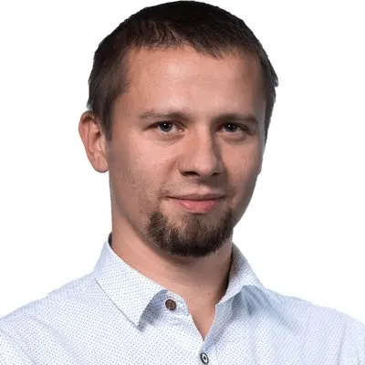
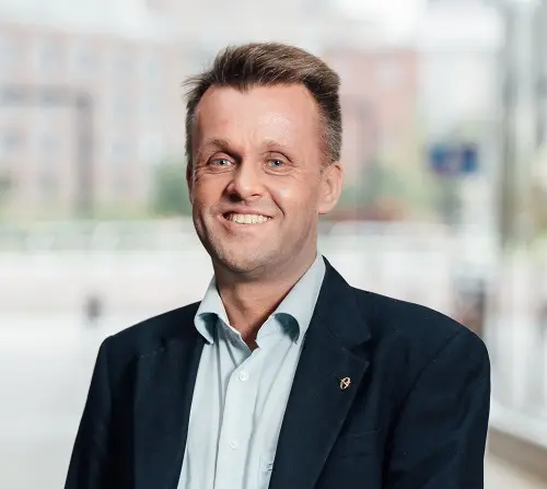
Jarek Marciniak
Jarek has extensive experience in the geospatial data and services industry, since graduating with a degree in geoinformatics. He is currently the Director of Geospatial Services at Spyrosoft, valuing relationships based on trust, professionalism and partnership.
Resilience, resource quality, safety and protection of life

Albert Anoubon Momo
Vice President and Executive Director – Emerging Markets and Funded Projects at Trimble Inc.
Albert is a member of the Applied Sciences Advisory Committee (ASAC) of NASA. Albert is the Chair of the Board of Directors of the Cadasta Foundation, which is a non-profit organization that develops and promotes the use of simple digital tools and technologies to help partners effectively document, analyze, store and share critical information about land rights and resources. Albert is the Chair of the DEI Committee of the World Geospatial Industry Council (WGIC) and a member of its Public Private Partnership (PPP) Committee. From 2020 to 2022, Albert also served as the Chair of the Trimble Foundation, which is a non-profit, donor-advised fund to support Trimble’s philanthropic efforts.
Albert is a member of the Applied Sciences Advisory Committee (ASAC) of NASA. Albert is the Chair of the Board of Directors of the Cadasta Foundation, which is a non-profit organization that develops and promotes the use of simple digital tools and technologies to help partners effectively document, analyze, store and share critical information about land rights and resources. Albert is the Chair of the DEI Committee of the World Geospatial Industry Council (WGIC) and a member of its Public Private Partnership (PPP) Committee. From 2020 to 2022, Albert also served as the Chair of the Trimble Foundation, which is a non-profit, donor-advised fund to support Trimble’s philanthropic efforts.
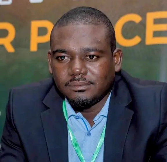
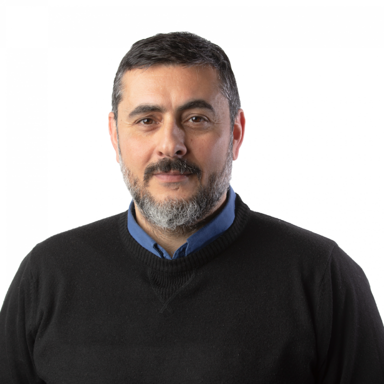
Mahamat Adoulaye Malloum
Sociologist-historian, Mahamat Abdoulaye Malloum worked for ten years in the land administration of Chad in urban and rural areas. Currently, he is preparing a doctoral thesis on land governance at the University of Maroua (Cameroon). He is the national consultant of Kadaster International (Netherlands) in the framework of a project to improve the land administration of Chad and expert, coordinator of the activities of experts for the development of the land policy of Chad on behalf of FAO. Very active in the Chadian sector, he participates in the horizontal learning network of the LAND-at-scale program and he is also the author of several articles and communications on land. Malloum is YILAA’s focal point in Chad.
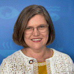
Rachael Beaven
Rachael Beaven is Director of Statistics Division at UNESCAP, a role she took on just over a year ago. Prior to that she had worked in the UK government for over thirty years, most recently leading the Data for Development Team at the Foreign, Commonwealth and Development Office of the United Kingdom, where she managed a global portfolio of statistical programmes to build core statistics as well as helped countries modernize their statistical systems. She has also worked in a range of roles in the UK Department for International Development including managing the Syria Humanitarian Programme for four years.
Ms. Beaven holds Master’s degrees in Statistical Applications in Business and Government as well as Business Administration, and a Bachelor’s degree in Geography and Geology.
Ms. Beaven holds Master’s degrees in Statistical Applications in Business and Government as well as Business Administration, and a Bachelor’s degree in Geography and Geology.
Amelie Gagnon
I am a Demographer and Senior Programme Specialist (Data and Evidence) in the Technical Cooperation team at UNESCO’s International Institute for Educational Planning (IIEP).
I lead the design and implementation of tools, guidelines, methodologies, and data analytics work to improve educational planning and management in Member States. I am the alternate UNESCO Representative to the UN Committee of Experts on Global Geospatial Information Management (UN-GGIM), and have published a few reports on the use of geospatial data in educational planning, on spatialized school-age population estimates, travel time to school, etc.
Before joining IIEP, I worked at the UNESCO Institute for Statistics, covering the Latin America and the Caribbean education survey, and Statistics Canada within the Canadian Research Data Centre Network in Saskatchewan.

Robin Higgons
Robin is currently the Managing Director at Qi3 Ltd. Robin is a specialist in international technology marketing at the highest level, focusing on strategy, marketing, sales, and technology translation. His private clients range from large corporations such as Unilever, Lockheed Martin, Selex, and Elekta, through SMEs and Venture Capital Funds, to start-up companies.

Guillaume Le Sourd
Guillaume Le Sourd currently leads the Cartographic Unit of the Geospatial Information Section at the United Nations (UN). He recently directed the Mapping 17 Sustainable Development Goals campaign of 2021 and 2022 and is co-author to the book Mapping for A Sustainable World, a joint publication between the UN and ICA.
He worked at the UN for over 15 years including at the Division for Ocean Affairs and the Law of the Sea (Office of Legal Affairs), the peacekeeping operation in Burundi, the UN Environment Programme and the World Health Organization.
He studied geography and cartography at the University of Lyon, holds a M.A. in Sustainable development from the University of Geneva, and MSc. in GIS from the University of Southampton.

Cathrine Armour
Cathrine Armour is Chief Reporting Officer at the PRI, where she leads the development of the largest global reporting project on responsible investment measured by assets under management covered (more than USD 120 trillion). She ensures the team, technology, and processes are in place to capture the data required to measure and drive meaningful change in global investment practices towards sustainable outcomes.
Cathrine is experienced in leading strategic projects that utilise data to generate economic growth while creating significant positive change. Prior to joining the PRI Cathrine was Chief Customer Officer at the UK Hydrographic Office (UKHO). Her career achievements include: establishing the South West Centre of Excellence for Satellite Applications as inaugural Director; leading the international Eye on Earth programme for global cooperation in use and access of environmental data for sustainable development; and founding the Ordnance Survey’s Award Winning ‘Geovation’ Accelerator and Hub. In 2016 she was short-listed for the WISE International Award for Open Source, sponsored by Bloomberg, for her work.
Cathrine holds a BSc Environmental Studies (GIS & Spatial Analysis) and post-graduate certificates across business, technology, sustainability and impact. She is currently undertaking research on the nexus of purposeful leadership, Artificial Intelligence and sustainable economics – optimising decision-intelligence to achieve harmony of people and planet.
Individual contribution to open geospatial innovation
Jarkko T. Koskinen
Jarkko T. Koskinen has a Doctor of Science in Technology degree from Aalto University. He is currently Deputy Director General of National Land Survey of Finland and Director of Finnish Geospatial Research Institute (FGI). Prof. Koskinen has authored and co-authored over 100 scientific papers.

Olivia Powell
Olive Powell is a chartered geographer (GIS) and fellow of the Royal Geographical Society with IBG with 20 years experience in the use of geospatial data and technology in the environment and law enforcement’s sectors. She is currently the Head of Geography & Geospatial at the Office for National Statistics where she heads the Geospatial division. She is passionate about diversity and geospatial and is the co-founder and Director of Women+ in Geospatial global network.
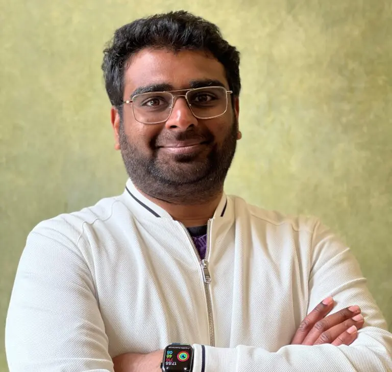
Muthu Kumar
Muthukumar Kumar, Co-founder of Geoawesomeness and Geospatial expert.
Muthu is a geospatial expert, community builder and blogger with over a decade of experience with the global geospatial community. As co-founder of Geoawesomeness, he works internationally to evangelize the benefits of location data and technology across industries, academia and governmental agencies.
Muthu holds a Bachelor of Engineering in Geoinformatics from Anna University in India and a Master of Science in Earth Oriented Space Science and Technology from the Technical University of Munich in Germany.
Luca Budello
With a diverse background firmly rooted in Environmental Science, Luca creates opportunities for companies to understand the value of geospatial insights, accelerate innovation and breathe life into cross-sector collaborations.
Leading on Geospatial at Innovate UK KTN, Luca’s goal is to help innovators to build a thriving geospatial market and realise opportunities for positive social and environmental change.
Leading on Geospatial at Innovate UK KTN, Luca’s goal is to help innovators to build a thriving geospatial market and realise opportunities for positive social and environmental change.

Nadine Alameh
Nadine is the CEO of the Open Geospatial Consortium (OGC) – a global not-for-profit membership organization hosting the largest collective-problem solving community of experts making geospatial/location information Findable, Accessible, Interoperable, and Reusable (FAIR) via open standards, innovations, and partnerships.
Nadine spent her career applying open mapping/geospatial standards in multiple domains including aviation, earth observations, public safety, and defense. She’s a champion of collaboration at scale in the expanding geospatial ecosystem, and a passionate cheerleader for the value that geospatial can bring to new domains like digital twins, gaming, and metaverse.
Dr. Alameh is an appointed member of the U.S. National Geospatial Advisory Committee (NGAC) and sits on the board of the UN a Committee of Experts on Global Geospatial Information Management (UN-GGIM) Private Sector Network. Nadine was awarded the 2022 Geospatial World Diversity Champion award and the 2019 Geomatics Canada Diversity Leadership Award