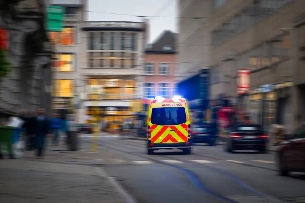
Blue Light Maps: a geoTech startup story
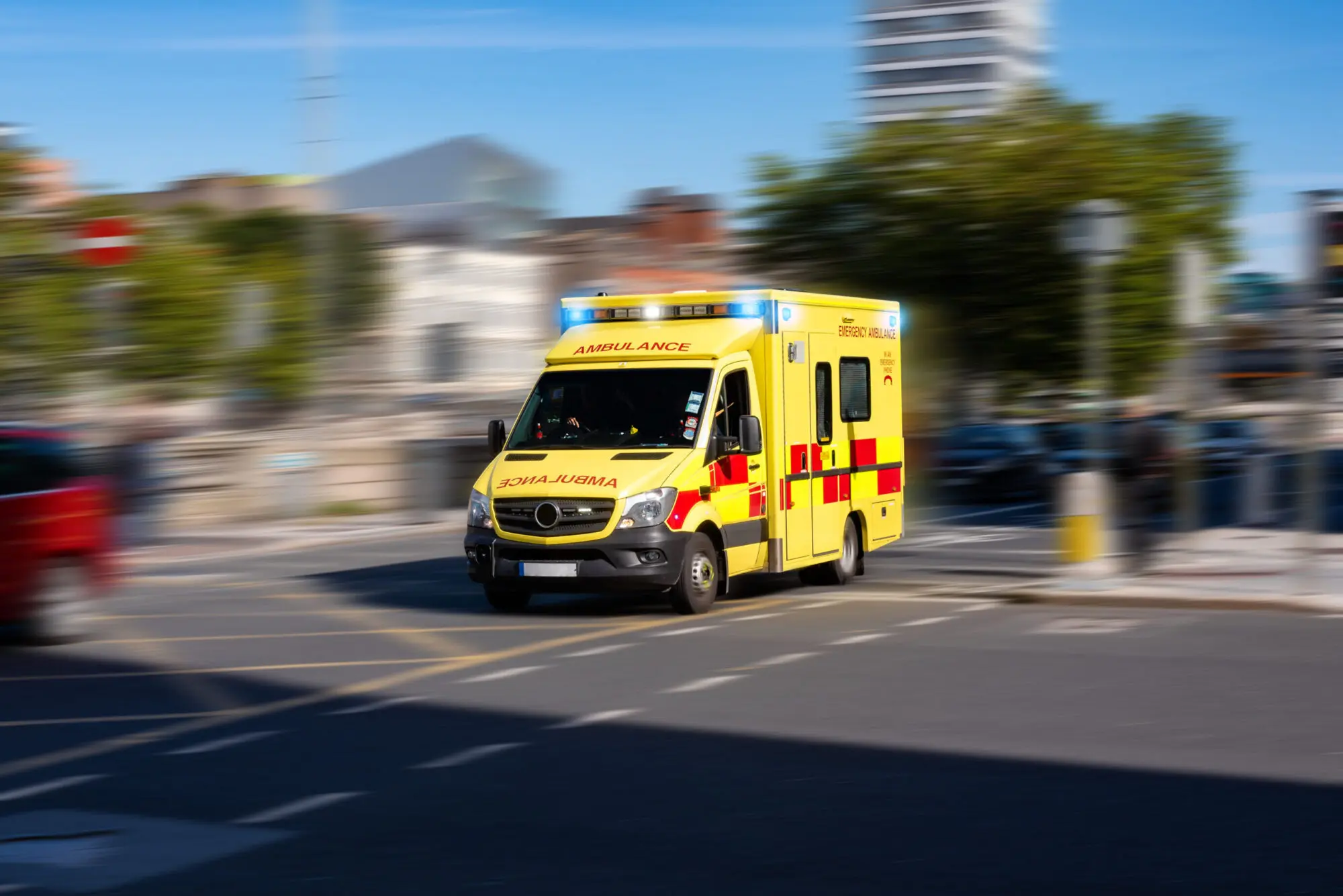
Is the changing road network leaving emergency services ill-equipped to navigate effectively?
Over £2bn was approved in 2020 for new active travel schemes to be implemented, and 19 local authority schemes were approved last year to reduce rat-running and the pollution caused by private motor vehicles.
While planners often design traffic restrictions with exemptions for emergency services, technology that enables first responders to use them has been lacking.
Frontline Experience
The inspiration for founder Henry Sternberg to start Blue Light Maps came from his own experience as a blue light driver and commuter.
“A new Low Traffic Neighbourhood was implemented that blocked through traffic, impacting my usual commute and encouraging me to cycle. It’s enforced by cameras, designed so that emergency vehicles could still pass through.
However, the GPS apps I relied on once I was behind the wheel of an emergency response vehicle didn’t consider my capabilities as a blue light driver and make use of these roads. This often resulted in me following longer routes than necessary, ultimately taking longer to get to emergency calls.”
Henry found that not only were similar schemes being rapidly rolled out across the UK, but more traditional traffic restrictions also had an impact on response times and patient care.
“I quickly realised that other factors, like no left or right turn restrictions at junctions, also contributed to emergency vehicles not taking the most direct route to emergencies.
As I researched the problem further, I came across a study of paramedics and their views of speed bumps. The research paper found that the majority of paramedics would prefer to take a longer route that avoided speed bumps when they had a critical patient onboard, as the effects of speed bumps often prevented paramedics from being able to administer appropriate treatment.
Speaking to a doctor, they explained that problems caused by speed bumps during critically ill patient transfers were well known, with airway tubes often becoming dislodged. They were personally aware of a case where a child had received permanent brain damage as a result.”
The Solution
Blue Light Maps provides a GPS navigation app that empowers frontline emergency service workers to provide a better service to the public.
It achieves that in part with software that knows which rules blue light drivers can break, often resulting in a more direct route than a consumer navigation solution would provide.
Conversely, as anyone that has sat in an Uber will know, there are occasions where direct routes are littered with speed bumps with the potential for significant impact on patient care and outcomes. The team are currently working on adding an option to prioritise routes with as few speed bumps as possible.
Based on first-hand experience of the needs of frontline workers, the overarching objective is to empower first responders with the routing and mapping options most suited for their needs.
Feedback from Blue Light Maps’ users has confirmed: “it can find shortcuts that neither Google Maps or I knew about”.
What’s next
Over the coming months Blue Light Maps’ objectives include further development of APIs for control room integration, while building new partnerships with emergency service organisations.
If you’re interested in finding out more, contact the team here to request a demo.