UKREiiF 2025: Real estate and infrastructure’s definitive shift from ‘why’ to ‘how’
2nd July 2025
-
Geovation: Scotland
Tech Series: How to Choose a Good Problem for Your Start-Up
27th June 2025
-
Business
Innovation
Insight
Startups
Tech Team Blog
Laying the Groundwork for a Smarter, More Connected Housing Future
30th May 2025
-
AI
Business
Innovation
Insight
Partnership
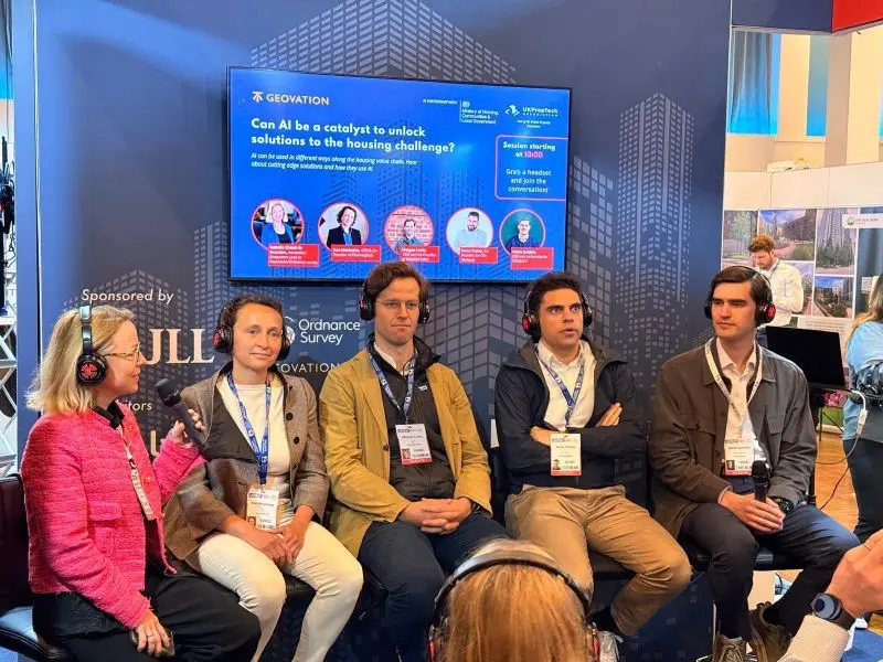
Unlocking Housing Solutions with AI: Highlights from UKREiiF 2025
30th May 2025
-
AI
Business
Innovation
Insight
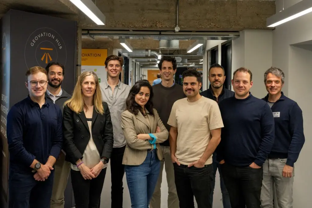
Celebrating Innovation: Introducing the Spring 2025 Geovation Accelerator Cohort
30th May 2025
-
AI
Innovation
Startups
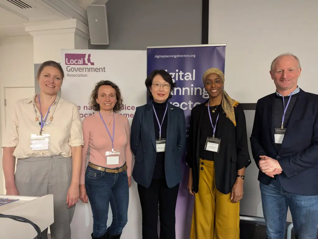
AI, Planning, and the Future: How Geovation Is Backing Innovation in the Built Environment
2nd April 2025
-
AI
Innovation
Insight
Startups
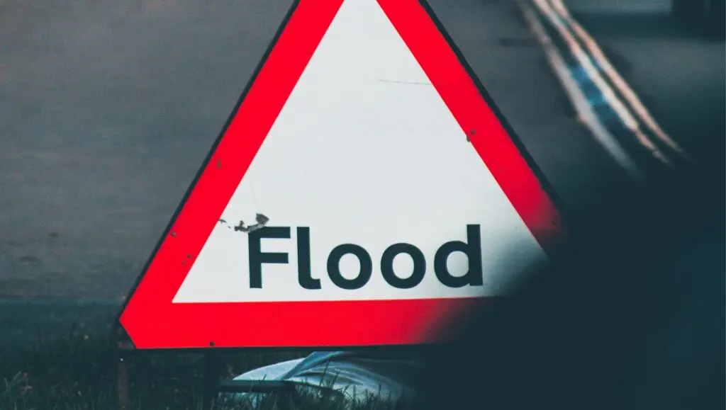
From Reactive to Proactive: The Role Insurers Can Have in Flood Risk Mitigation
2nd April 2025
-
Environment
Innovation
Insight
Founder Takeover: Neurodiversity Celebration Week & Endometriosis Awareness Month, Insights and Top Tips from Aleksandra Czech – Seklecka, Founder of VanFill.
21st March 2025
-
Geovation: Scotland
UseNeuron | The commercial founder’s guide to distribution-first experimentation